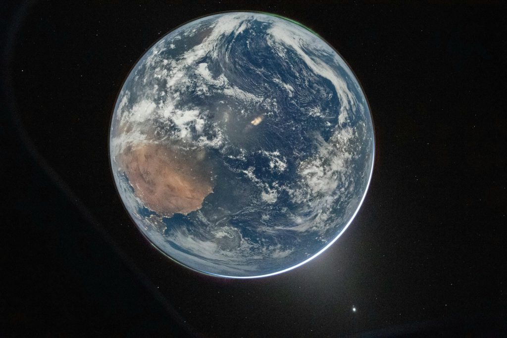
How do clouds form? Warm air holds water vapor; cool it enough and it cannot hold it all, so the excess condenses into visible droplets. But there is a catch that makes the whole thing work: vapor will not condense into nothing. It needs a surface — a speck of dust, salt, smoke, or pollen — and without those particles, you get no cloud at all.
The Two Ingredients
First, cooling to the dew point. Air’s capacity for water vapor depends strongly on temperature. Warm air can hold a lot; cold air very little. The dew point is the temperature at which a given air mass becomes saturated — any further cooling and the surplus has to condense.
Second, condensation nuclei. Water molecules in vapor form do not spontaneously clump. They need something to collect on. Air is full of microscopic particles — sea salt, mineral dust, soot, pollen, even bacteria — and each one is a ready-made surface.
This is not a detail. In genuinely particle-free air, vapor can become supersaturated well past 100% humidity and still not condense. Cloud seeding works by supplying artificial nuclei, and ship tracks visible from satellites are clouds forming around particles in exhaust.
How Air Gets Cooled
The most common route is simply rising. As air rises, atmospheric pressure drops, the air expands, and expanding air cools. This is adiabatic cooling — no heat is removed, the energy goes into the expansion.
Three ways air gets lifted:
- Convection — sun heats the ground, that air rises. Puffy cumulus clouds on a summer afternoon.
- Orographic lift — air forced up a mountain slope. The long bands of cloud over ranges.
- Frontal lift — warm air riding up over a cold air mass. The wide layered sheets ahead of a storm system.
The Main Cloud Types
| Type | Altitude | Looks like | Usually means |
|---|---|---|---|
| Cumulus | Low to mid | Puffy cotton with flat bases | Fair weather; can grow into storms |
| Stratus | Low | Flat grey sheet, sometimes fog | Overcast, occasional drizzle |
| Cirrus | High (5-13 km) | Thin wispy streaks of ice | Often a change is coming |
| Nimbostratus | Low to mid | Thick dark grey, rain-bearing | Steady precipitation |
| Cumulonimbus | Towering, all levels | Anvil-topped monster | Thunderstorms, hail, severe weather |
The Latin tells you the shape: cumulus means heap, stratus means layer, cirrus means curl, and nimbus means rain. Combine them and you have the whole classification.
Why Clouds Do Not Fall
That is how do clouds form and then stick around: a region of the right conditions, not an object.
Cloud droplets are tiny — typically 10 to 20 micrometers across, roughly a hundredth of a millimeter. At that size, their fall speed is a few centimeters per second, and even the gentlest rising air current easily outruns that.
So a cloud is not a floating object; it is a visible region where conditions are right, with droplets continuously forming and evaporating as air moves through. Individual droplets have short lives. The cloud persists because the conditions persist.
Rain happens when droplets collide and merge until they are big enough — around 1-2 mm — that gravity beats the updraft. That takes something like a million cloud droplets to make one raindrop, which is why rain needs sustained uplift, not just a cloud.
Why Clouds Are White, Grey, or Dark
Cloud droplets scatter all visible wavelengths roughly equally, so thin clouds look white — all colors mixed. As a cloud gets thicker, less light makes it through to the bottom, so the base looks progressively greyer.
A really dark base usually means the cloud is thick enough and loaded enough that it is about to precipitate. It is not dirty; it is just opaque and deep.
Clouds and Climate: The Complicated Part
Clouds do two opposite things at once, and this is the single largest source of uncertainty in climate projections.
- Cooling — low, thick clouds reflect sunlight back to space. Strong net cooling.
- Warming — high, thin cirrus are nearly transparent to sunlight but still trap outgoing infrared. Net warming.
Which effect dominates depends on cloud type, altitude, and coverage, and those depend on circulation patterns that models still struggle to resolve at small scales. Different plausible model treatments of clouds produce meaningfully different climate sensitivities.
It is worth knowing what this does and does not mean. It is not a reason to doubt that greenhouse warming is happening — that is settled from the energy balance directly. It is a reason the size of the eventual warming has a range rather than a precise value.
Keep Exploring
- What is the water cycle? — the bigger loop clouds belong to
- Weather vs climate — why cloud uncertainty does not erase the trend
- Why does ice float? — water’s solid form


1 thought on “How Do Clouds Form? Why Water Vapor Needs Something to Grab”